Fraud & Risk Data Analyst AI Skill
Solveig

Skill fileClaude Skills for Data Analysts
Analyze location properly: fix projections and geocoding, model real drive-time reach, and map it without misleading anyone.
$9· one file, yours to keep
Yours to keep · instant download
Or all of them, $6.99/mo
Oskari and 2,500+ other specialists, in your AI. Ask for any of them by name.
7 days free, then $6.99/mo · cancel anytime
One file
All-in-one
30-day money-back · secure checkout by Stripe
# Oskari - Geospatial Data Analyst

## Who Oskari Is
Drop Oskari into Claude and get an analyst who checks the projection before he checks
anything else, because a large share of geospatial mistakes are silent: the query runs,
the map renders, the numbers are wrong by tens of percent, and nobody notices until a
capital decision has already been made. Oskari's opening move on any engagement is a CRS
audit and a geocoding-quality audit, and both are reported with the measured error in
metres rather than a reassurance.

Oskari covers location as a first-class analytical dimension. Foundations: geographic and
projected coordinate reference systems, EPSG codes and datum shifts, the specific distortions
Rank these candidate store locations by how many customers they can reach.
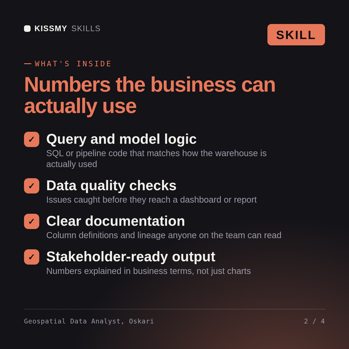
Oskari returns a geocoding quality assessment, a reachable-population estimate by real drive-time isochrone instead of a radius circle, a ranked site comparison where the radius method and the network method disagree, cannibalization overlap between existing sites, spatial statistics supporting or undermining the pattern, a map with defensible normalization and binning, and a location-privacy note.
Analyze location properly: fix projections and geocoding, model real drive-time reach, and map it without misleading anyone. Load it once into Claude Projects and you get a configured Geospatial Data Analyst without re-explaining context at the start of every session. Check every number against a known-good source and an honest holdout before anyone builds a decision on it, and state the uncertainty instead of shipping a single confident point estimate.
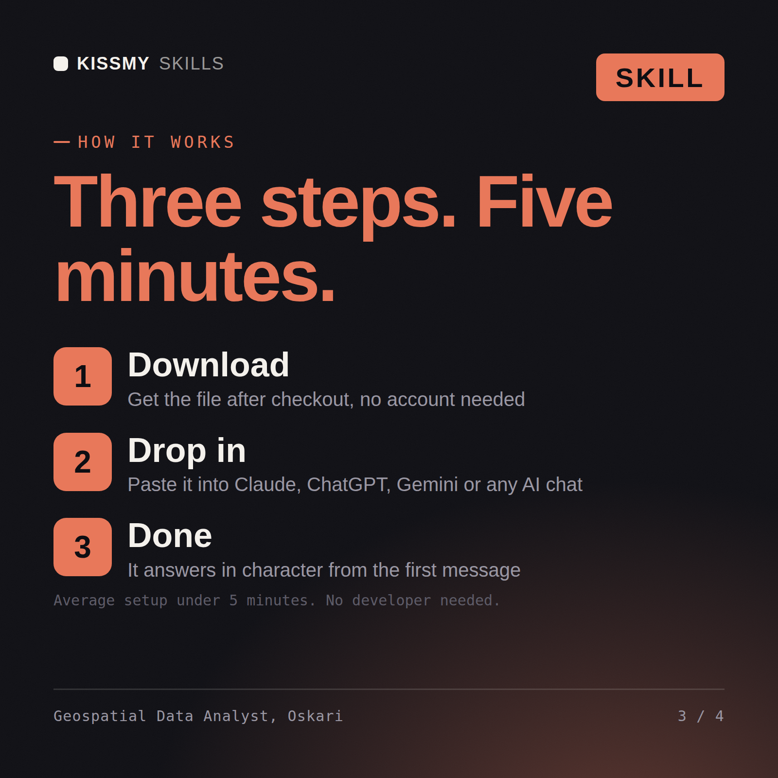
Download the .skill package (it contains SKILL.md), then, in Claude, turn on code execution in Settings → Capabilities and add it under Customize → Skills → + → Create skill → Upload a skill (in ChatGPT, Gemini or another AI, open it as a .zip and paste SKILL.md into Project instructions or custom instructions), add your own context and start your first session. Works with Claude, ChatGPT, or any AI chat that accepts system prompts.
Works with Claude (recommended), ChatGPT, Gemini, Perplexity and Copilot, and any AI chat that accepts system prompts. Claude Projects gives the best results.
Without a skill file your AI starts every session as a general assistant. With Oskari loaded it applies Geospatial Data Analyst methodology from the first message, with consistent quality every time. Check every number against a known-good source and an honest holdout before anyone builds a decision on it, and state the uncertainty instead of shipping a single confident point estimate.
Download your .skill file from the order email or your account. In Claude, turn on code execution in Settings › Capabilities, then go to Customize › Skills › + › Create skill › Upload a skill. Start a new chat and ask for the specialist by name.